Rock Island and KATY trails across Missouri
I rode my bicycle solo across Missouri, November 3-10, 2025
The ride was from the Kansas City Amtrak Station to the Arch in St. Louis and then to where I was staying in St. Louis.
Almost the entire distance was on trail - mostly crushed limestone, but also some paved sections.
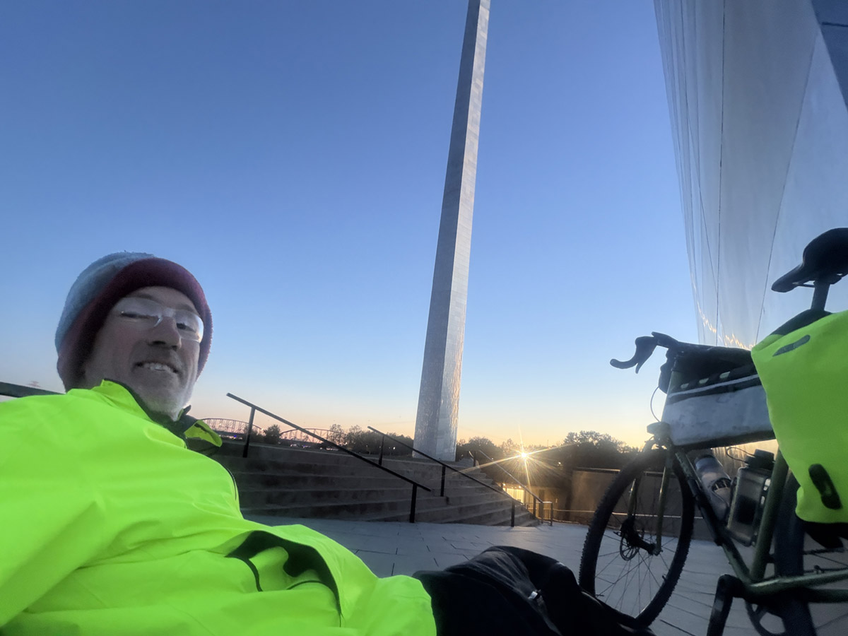
It was a very cold last two days but a beautiful finish at the St. Louis Arch at Sunset.
Total mileage: 368 miles.
From the Kansas City Amtrak station I followed safe roads to the start of the Rock Island Trail.
I spent the night at the Best Western Plus close to the start. They allow bikes in the room.
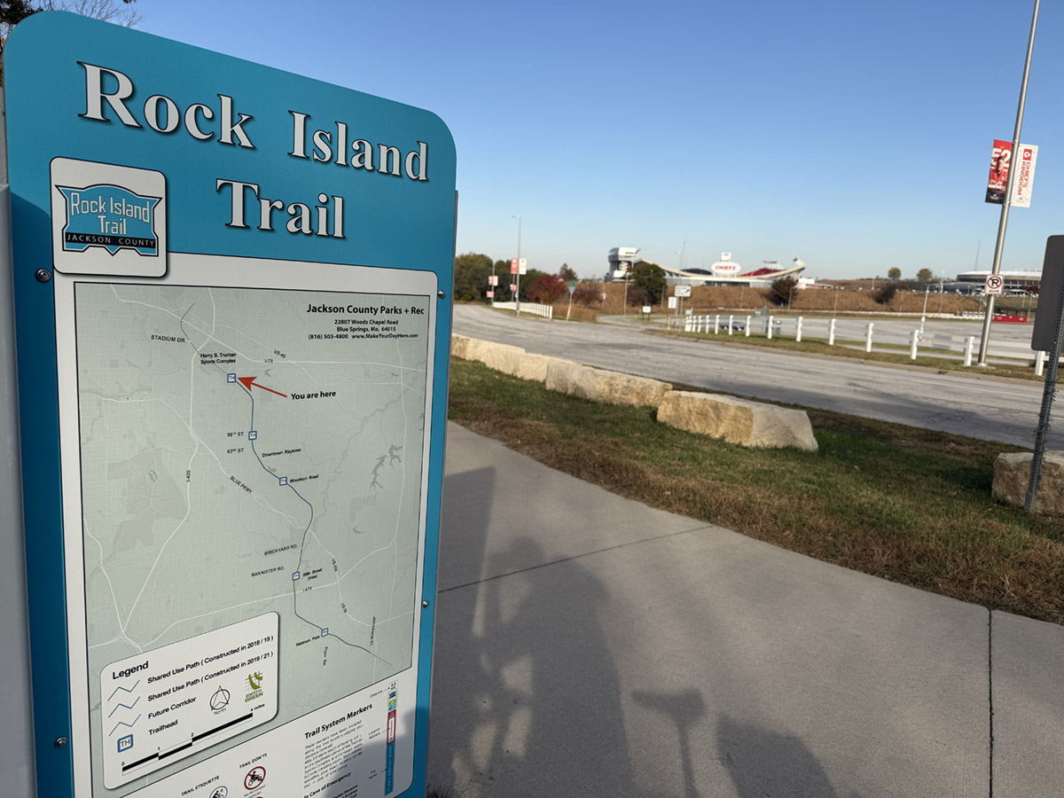
The Rock Island Trail starts at the Kansas City Chiefs stadium parking lot and continues to Windsor, MO.
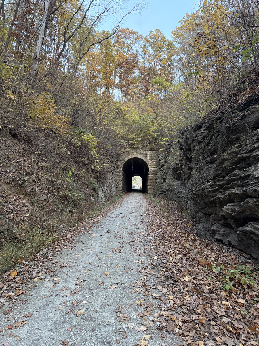
The Rock Island trail is part gravel and part paved with a nice tunnel.
From Windsor I picked up the Katy Trail and rode it to Machens.
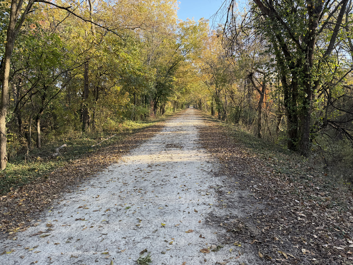
Almost the entire Katy trail is crushed limestone as in the above picture.
Most of the trail is tree covered but some parts are more open.
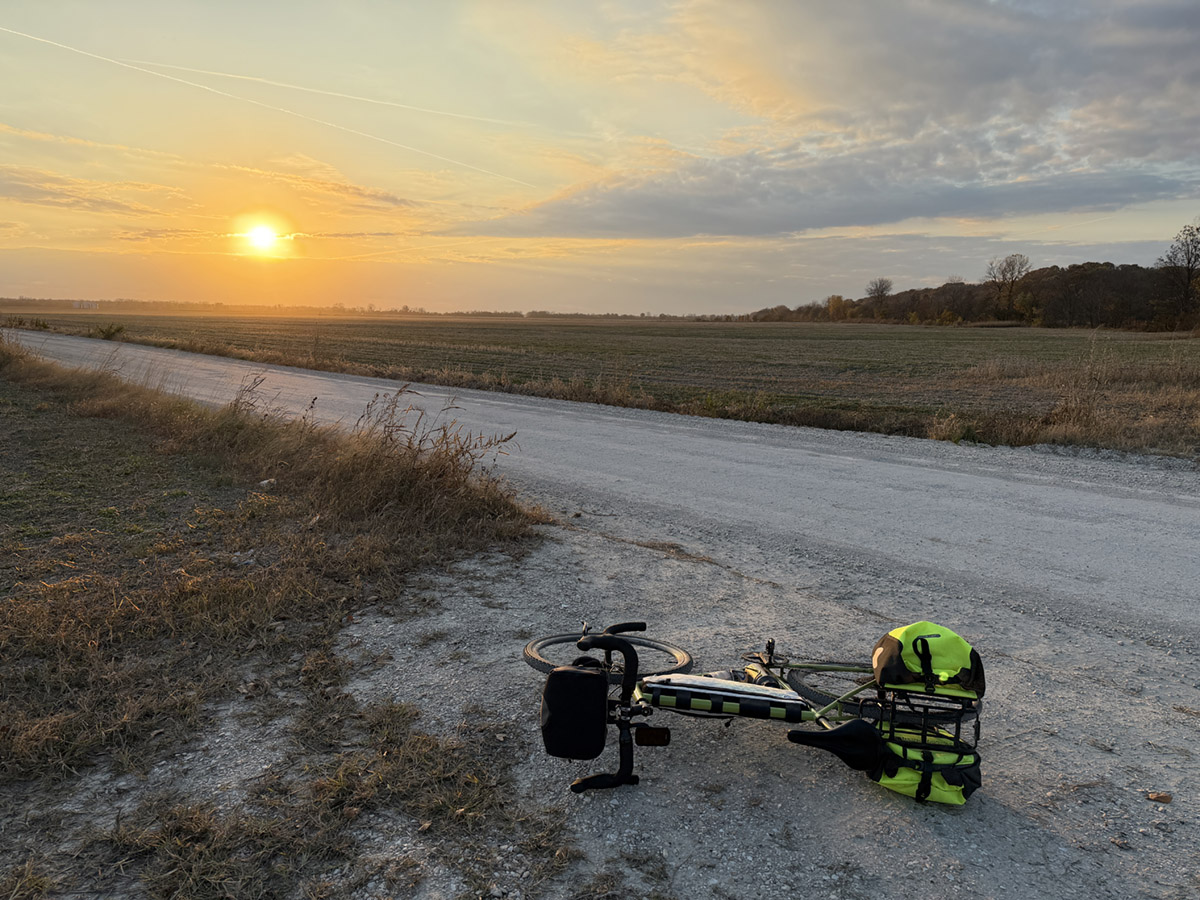
"Golden hour" along the trail is special - so always try to do some riding during the hour before sunset.
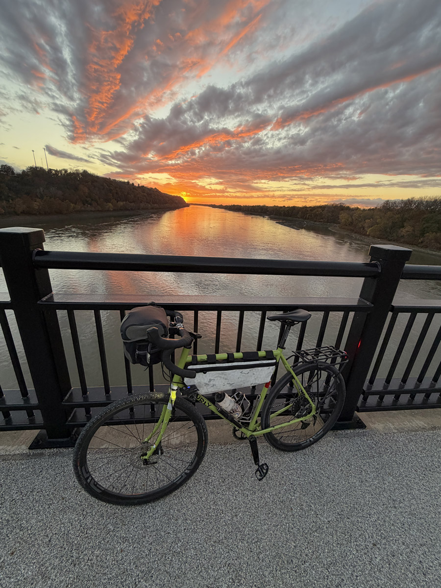
The bridge across the Missouri to Hermann has a separated bike path and great sunset views.
The last leg before Machens encounters the "low point" on the trail, which is only about 500 feet below the high point.
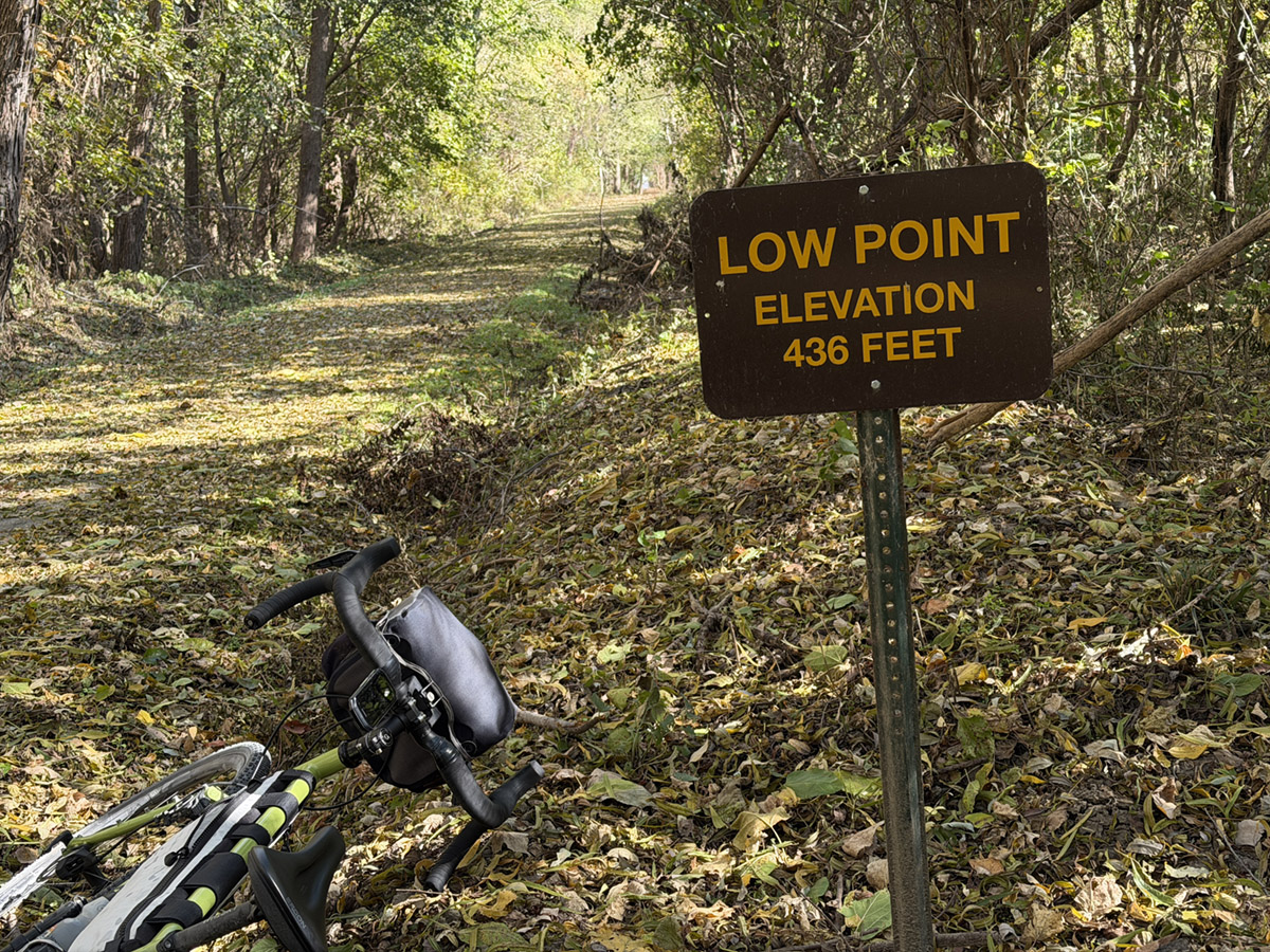
The highest point is actually on the Rock Island trail and is about 1000' elevation. Kansas City is about 500 feet higher than St. Louis.
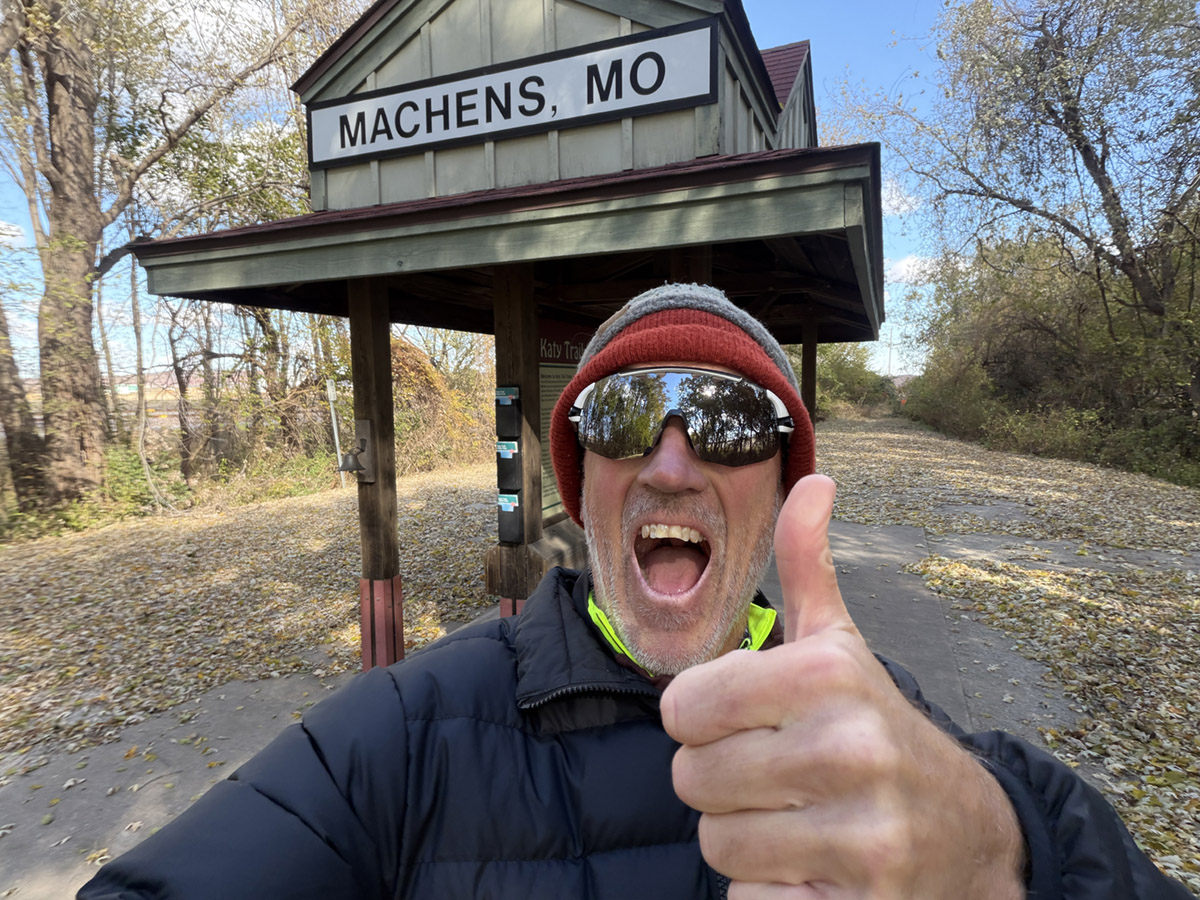
I finished the trail on a very cold 39 degree day with a 28 degree windchill.
There is a bell to ring, but otherwise a pretty uneventful end to the Katy trail.
From this point, there is a social path across a dry creek to a "private" road up to the main road.
At Machens it is necessary to ride on the road to Alton Illinois.
The road has no shoulder but also not much traffic.
At the Mississippi river there is a bridge with a wide shoulder which arrives in Alton.
Alton is a descent sized town with lots of places to eat right over the bridge.
In Alton I picked up the Madison County Confluence Trail which is basically on top of the Levee.
I rode the MCCT to Chain of Rocks Bridges and crossed the Mississippi River.
The first
Chain of Rocks Bridge is fairly short and has a separated bike lane.
The second Chain of Rocks Bridge is closed to vehicles and is the one that goes over the main part of the Mississippi.
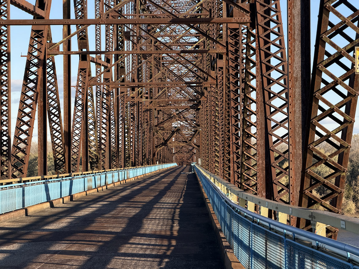
The Bridge is really long and has some great view. Downtown and the arch are visible from the bridge.
After crossing back into Missouri I picked up the Riverfront trail that goes all the way to the St. Louis Arch.
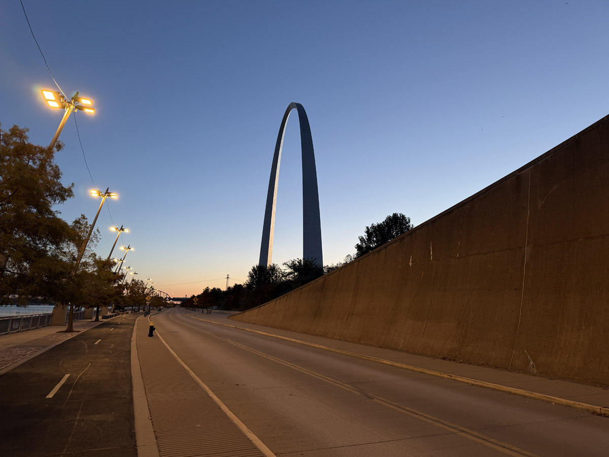
Be aware that right before getting to the arch, the city closed the trail for a few hundred feet and you have to go around the levy gates.
Apparently the previous mayor did this during Covid to stop street racing of cars.
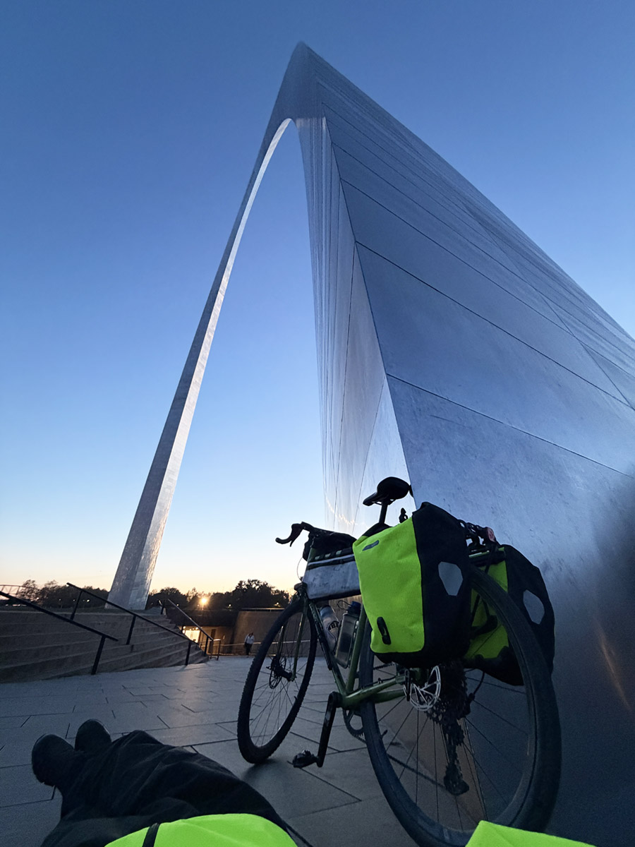
The finish at the arch was just in time to watch the sunset.
This was the second day in a row of arctic weather with a high around 39F and wind chill around 28F.
I wore two winter hats, four layers on top, two layers on bottom plus ski socks and winter gloves.
I wore riding glasses but my eyeballs still took about a half hour to warm up after getting indoors.
Be prepared for 30 mile stretches with no re-supply. But I never was short on water.
Also the trailhead water is turned off starting November 1st and half the bathrooms are closed.
However the pit toilets and porta-johns are open.
My setup included one bicycle water bottle and a 1L nalgene.
Rear Ortlieb Panniers. Rogue Panda half-frame custom bag. Ortlieb 6L Handlebar bag.
Be sure to bring a bike lights and a lock.
My bicycle is a 62 cm Surly Disk Trucker steel frame with custom parts including:
Enve 23mm carbon wheels.
Carbon Handle bars.
Bontrager rear rack.
Pedals that are SPD on one side and flat on the other.
Sram 1x12 gearing with a 46T chainring.
Whiskey Carbon post and Ergon seat.
40/42 mm gravel tires. 50-70 psi
My bars are level with my seat, but I would have preferred them to be 1 - 2" above the seat.
The drop bars did get used, but mainly just to adjust hand position.
I did use SPD shoes and they worked well, but I would recommend semi-water resistant shoes in case of rain or drizzle.
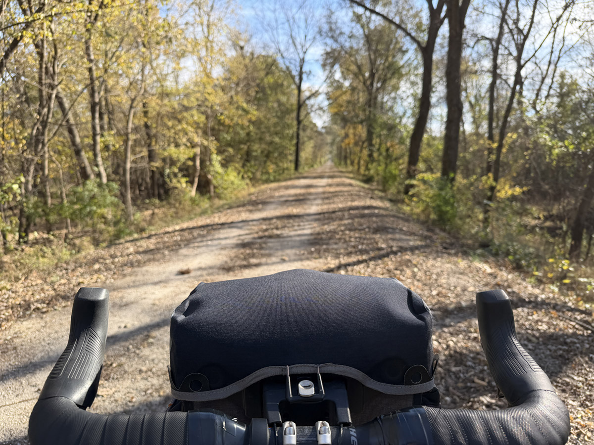
I really like my 6L Ortlieb Handlebar bag. It is waterproof and easy to access and fast to detach.
It also provides some wind shielding for my hands.
I use it for carrying snack and other fast grab items.
The only way it could be improved is to have a mount on top of the bag for my bike light and iphone.
Unfortunately the handlebars I chose don't have much area to mount anything because of their flat top shape.
But the bars are very comfortable.
Riding the trail in November was mostly great weather for the first 6 days, but the last two days an arctic blast came in from the North.
Thankfully I was riding West to East, so the wind was almost always at my back.
Rock Island / Katy Trail Trip Itinerary
(does not include riding within towns for food/dinner):
Day 1 - 10 miles - Amtrak from St. Louis to Kansas City. Ride 10 miles of road to start of trail and stay at Best Western Plus.
The ride follows a safe route through the city to the Chiefs Stadium.
Hint: Turn Left out of the Amtrak main entrance.
Use this GPX for Garmin to get there.
Day 2 - 35 miles - Start of Trail to Pleasant Hill - stay in an Airsteam trailer listed on Airbnb 1.6 miles from trail.
The Rock Island Trail is not complete, so there is a bit of road riding.
Here is the GPX for Garmin from Kansas City Amtrak to Pleasant Hill.
Day 3 - 48 miles - Pleasant Hill to Windsor - Stay at Kim's Cabins right on the trail.
Note that the Rock Island Trail goes under the Katy Trail bridge. Turn right after the bridge to get on the Katy trail towards Kim's Cabins.
I believe the sign says "Katy Trail State Park". If you continue straight you will take the Rock Island to its dead end.
Be sure to turn left (North) when leaving Kim's Cabins and stay left to take the bridge over the Rock Island Trail.
Day 4 - 73 miles - Windsor to Rocheport. Rocheport has lodging options, a bike shop and two places to eat dinner.
Important to note that the "General Store" is just a restaurant and not a store for supplies.
Day 5 - 40 miles - Rocheport to Jefferson City (the Capital)
Jefferson is probably the largest city along the trail at around 40k people.
Good bike shop and restaurants right next to the capital building.
Day 6 - 50 miles - Jefferson City to McKittrick/Hermann.
McKittrick has one large grocery store, and good lodging: Joey's Bird House BnB. - She serves up a great breakfast!
There grocery store and gas station is maybe a half mile off
the trail on the road to Hermann which has lots of restaurants.
The bridge over the Missouri River to Herman is worth the ride, especially at sunset. It has a fully separated bike lane.
Day 7 - 62 miles McKittrick to St. Charles
St. Charles is a good sized town with hotels and restaurants.
I stayed at the Country Inn and Suites by Radison which is right on the trail, but is not signed on the trail side, so don't miss it.
They gave me a first floor room and allow bikes in the room.
Breakfast is included.
Day 8 - 57 miles - St. Charles to Machens to St. Louis Arch to my accommodations in St. Louis.
No real stops between St. Charles and the bridge that goes over to Alton.
The trail ends at Machens and there is a pit toilet and a bell to ring.
The trail is a dead end, but you can take a social trail over to the road by the train tracks and head north to the main road and on to Alton.
In Alton you can pick up the Madison County Confluence Trail which is on top of the levee.
The MCCT is completely exposed to the wind and especially so since it is on top of the levy.
Ride the MCCT to the Chain of Rocks Bridge. There are lots of food options at the bridge.
Cross the first bridge in the dedicated bike lane. then peddle a short distance to the next bridge which is only for bikes/peds.
Once over the two Chain of Rocks Bridges, pick up the Riverfront Trail which has some short steep climbs initially.
Ride the Riverfront Trail to the Arch.
Celebrate! 368 miles most of which is on trail.
Here is a GPX for Garmin for the Machens to St. Louis Route.
It will take you to the St. Louis Amtrak station, but if you want to get to the Arch, just stay on the Riverfront Trail.
About a mile from the Arch the mayor closed the levee doors, so just detour inland one block and around the short closure.
Check out the Katy Trail Planner - this guy has made excellent guides for several trails in the USA
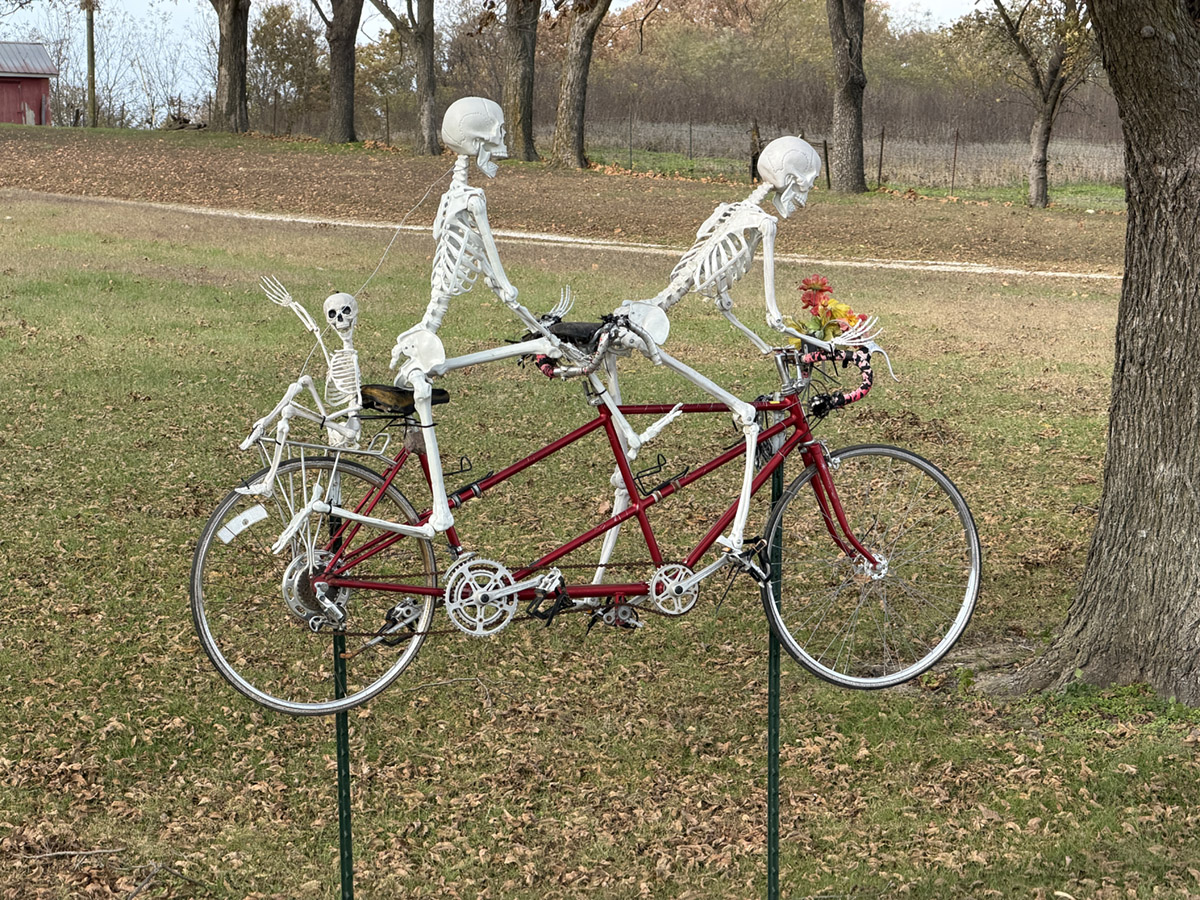
Many communities and residents have embraced the Katy Trail.
The food along the way was cheap and there was the occasional "honor system" snack shack.
| Bible Scholarship | Outdoors | Mark Haughwout | |
|---|---|---|---|
| About Mark | |||
| Contact | |||
| Terror Attack | Highwood Construction | ||
| Rock Island & KATY trail bike tour | Politics | ||
| Hiking in Flagstaff | |||
| MOTORCYCLES |
This Website and all content Copyright 2025 Mark S. Haughwout all rights reserved - Contact
